
Home ... New Brunswick ... Maps
New Brunswick Photo Galleries - Mt. Carelton Provincial Park
|
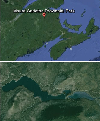
I've had a few expeditions in this region of New Brunswick. Hiking the appalachians or canoeing its lakes and rivers is only 7
hours away from where I live. I got to make sure I get back up there next summer. The Appalachian Range extends from the southern states of the U.S. all the way north through New Brunswick and Quebec. Mount Carleton, located in northwest New Brunswick is the highest peak in the maritimes. It's also part of Mount Carleton Provincial Park. There are RV ready campgrounds near the north end of Lac Nictau and more primitive tent sites on the south shore of the lake. In my adventures here I have seen moose, deer, bear, coyotes and eagles. From the camping area of Lac Nictau you are a short distance from the mountain trail that runs up Mt. Sagamook. I did it back in 2004. It took us about 7 hours. We were with our young kids at the time and aside from being very tired and sore, it can easily be completed by semi-fit people. Lac Nictau is canoe and kayak friendly and experiences light boat traffic. The lake is long and narrow and surrounded by the impressive Appalachians. For more information on this area visit Friends of Mount Carleton. |
 |
© FletchWeb Productions